Only recently have a I heard, much less used, the phrase urban hike. What makes it a hike rather than just a walk? Because we know I'm not doing any urban running.
For me it's the element of discovery and exploration with a longer distance than your standard neighborhood walk. We're looking at an urban setting in a fresh new way.
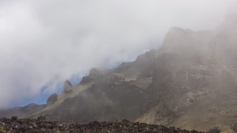
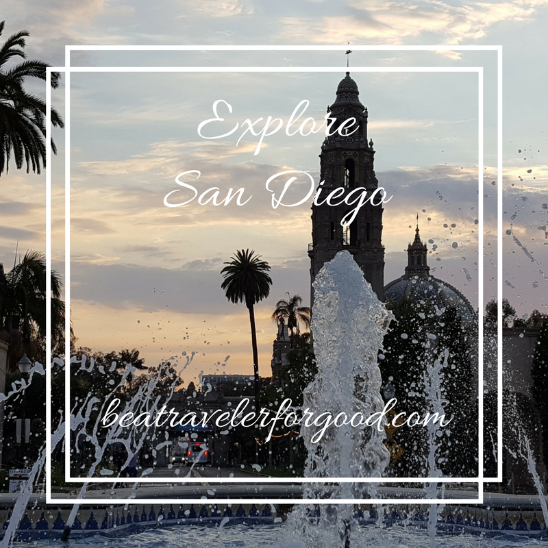
Last weekend I explored San Diego through the 5.5ish mile 7 Bridges hike through Balboa Park, Bankers Hill, and Hillcrest. The bridges in Balboa Park were familiar. I'd also gone on the hunt for the Spruce Street Suspension Bridge last year. My new favorite after this adventure is now the Vermont Street Bridge.
Let's go!
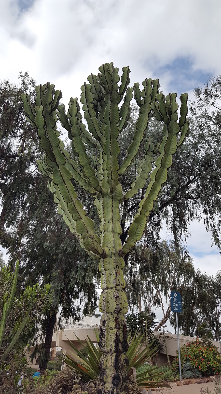
This hike starts at Balboa Park on Park Avenue by the Rose Garden and the Cactus Garden. I love the rose garden because I can enjoy all the flowers without having to do any actual gardening.

Bridge #1
Cross Park Avenue and go from the Rose Garden into Balboa Park.

Bridge #2
After walking through Balboa Park on the Prado, you'll pass the Museum of Man, and then you'll cross the bridge that goes over Highway 163. It's very dramatic when you're driving under it, but it's hard to capture that when you're walking over it.

Bridge #3
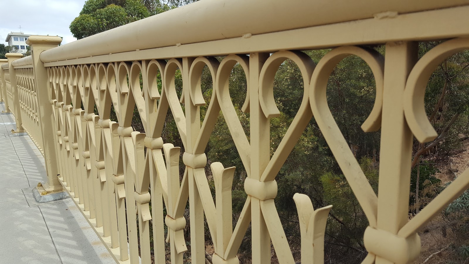
The First Avenue Bridge
Fun Fact: It's the only steel arch bridge in the city
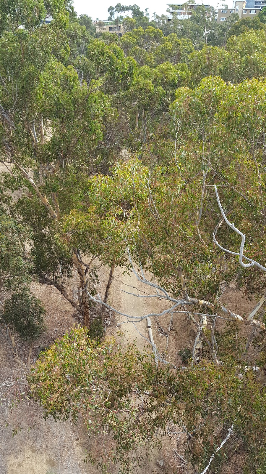
Views of the harbor to the left and one of the many San Diego city canyons on the right

Bridge #4
Quince Street Bridge
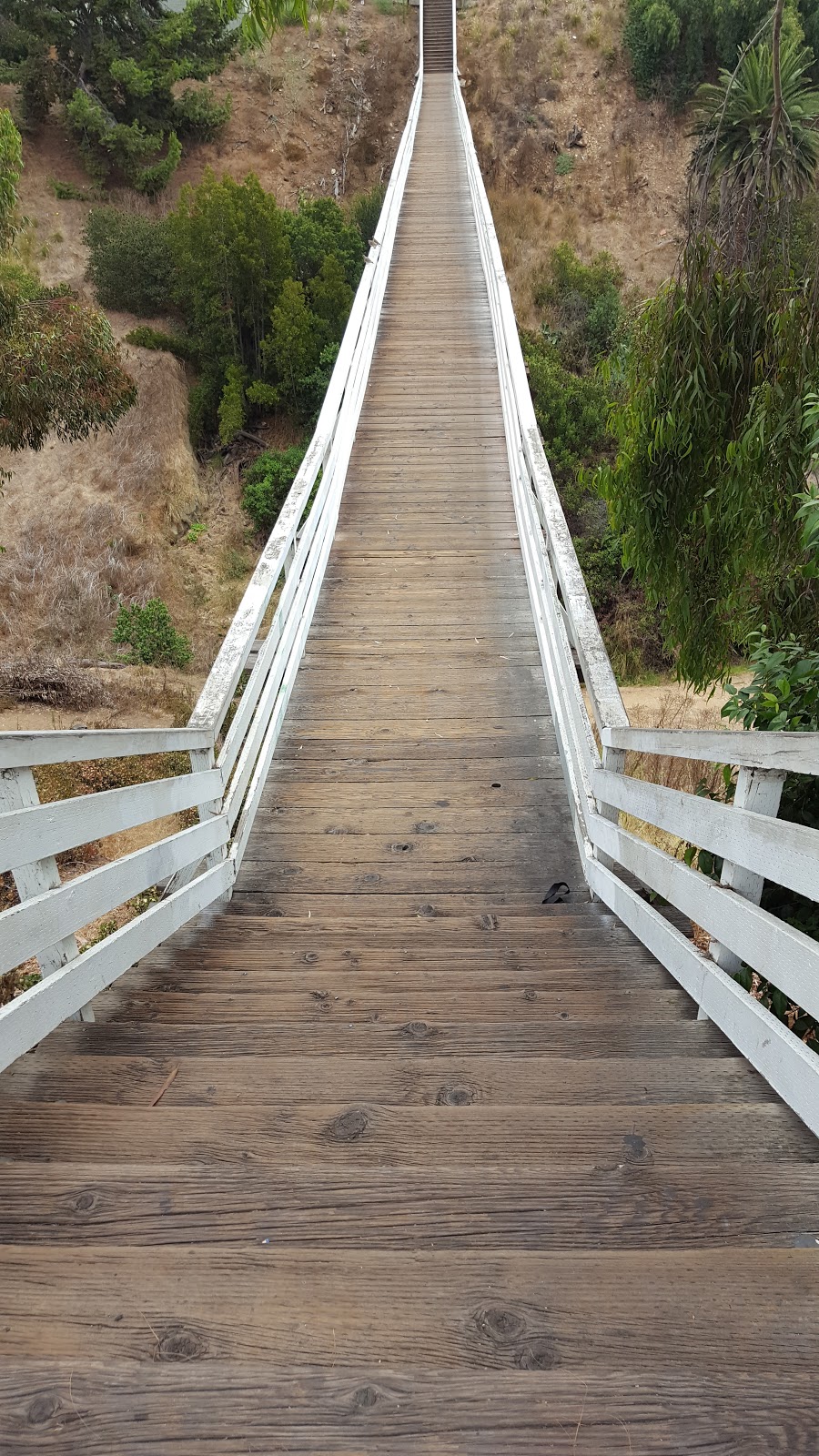
Bridge #5
Spruce Street Suspension Bridge
This is a fun one!
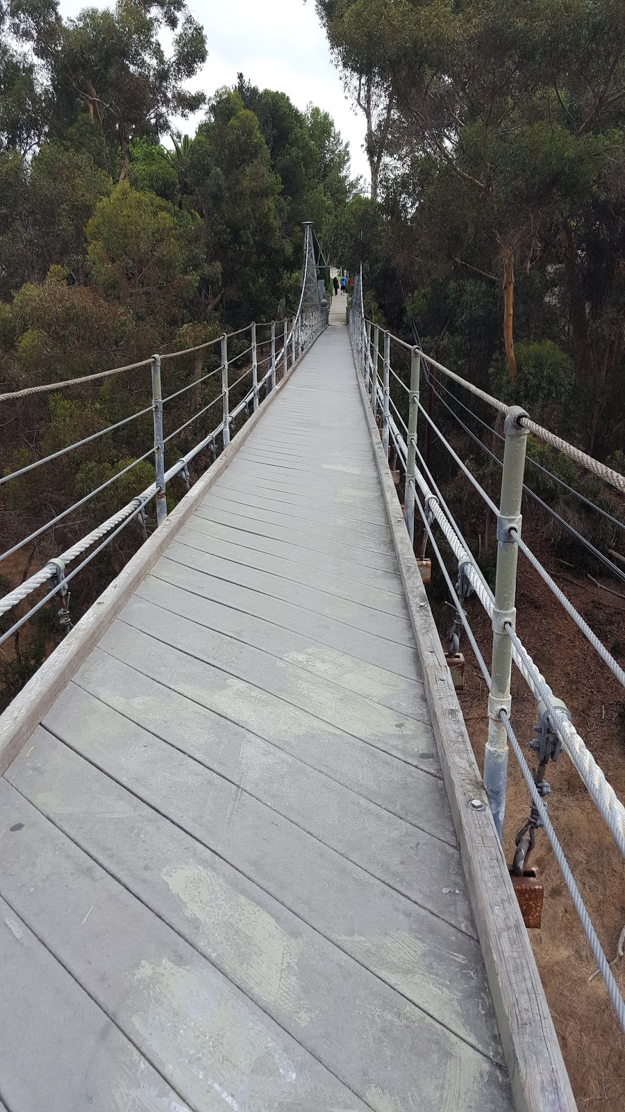
Bridge #6
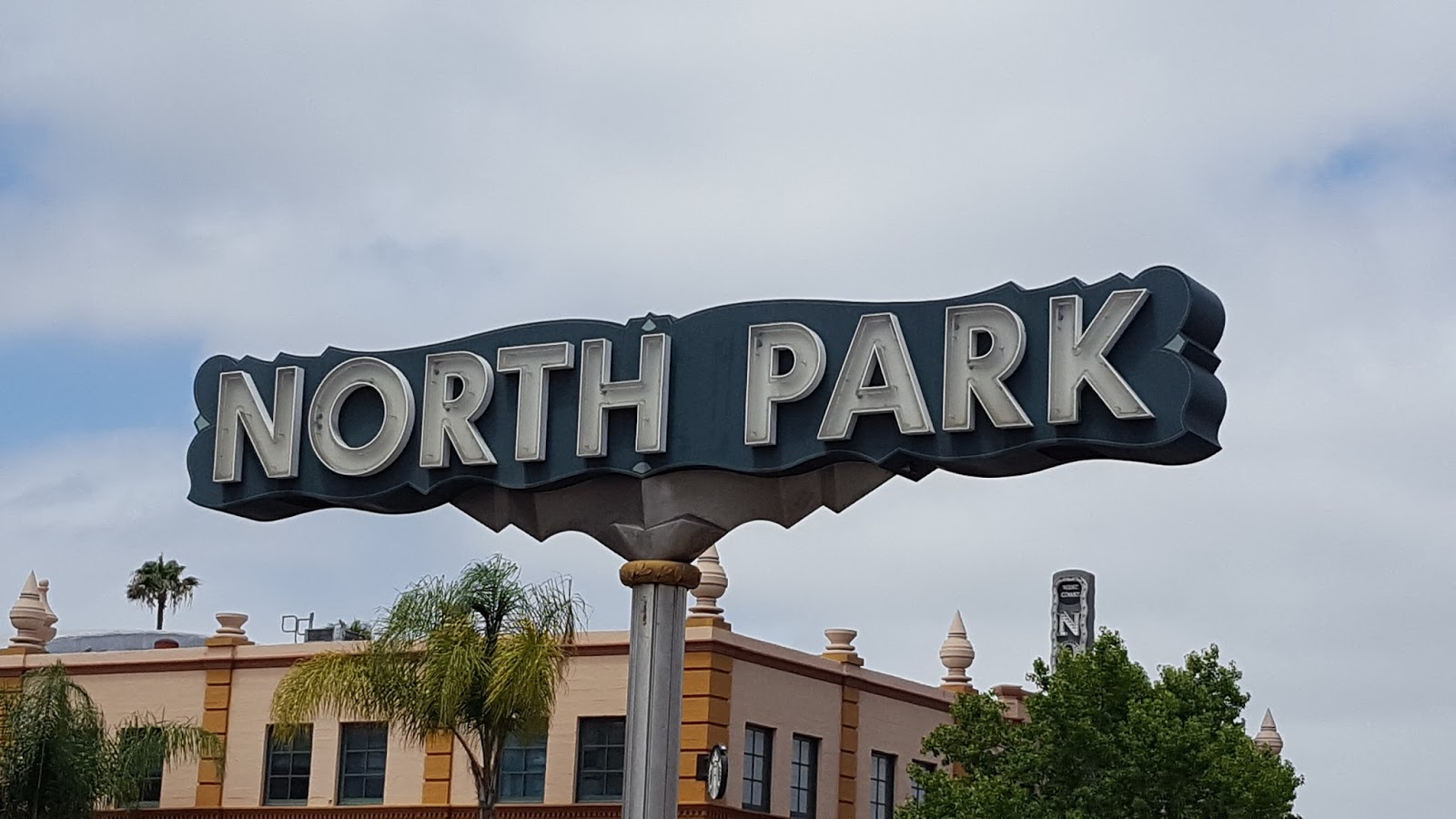
You get some of your fitness between bridges 5 and 6. Good news, you're strolling along University Ave in Hillcrest and there are no shortages of restaurants and coffee shops if you need to stop. This is a urban hike - coffee is what we do.
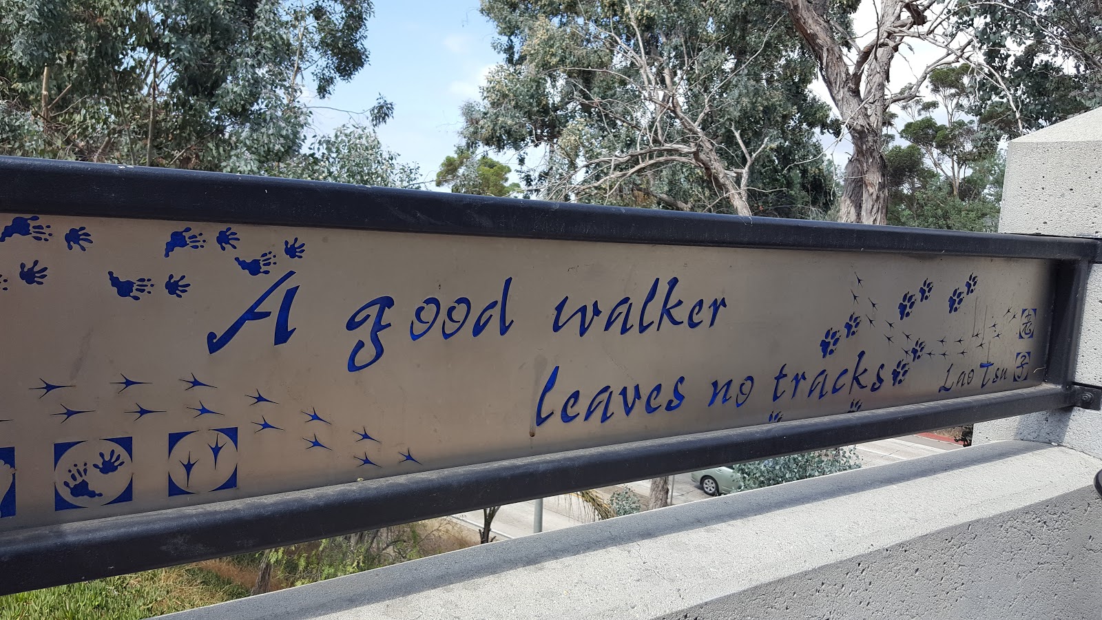
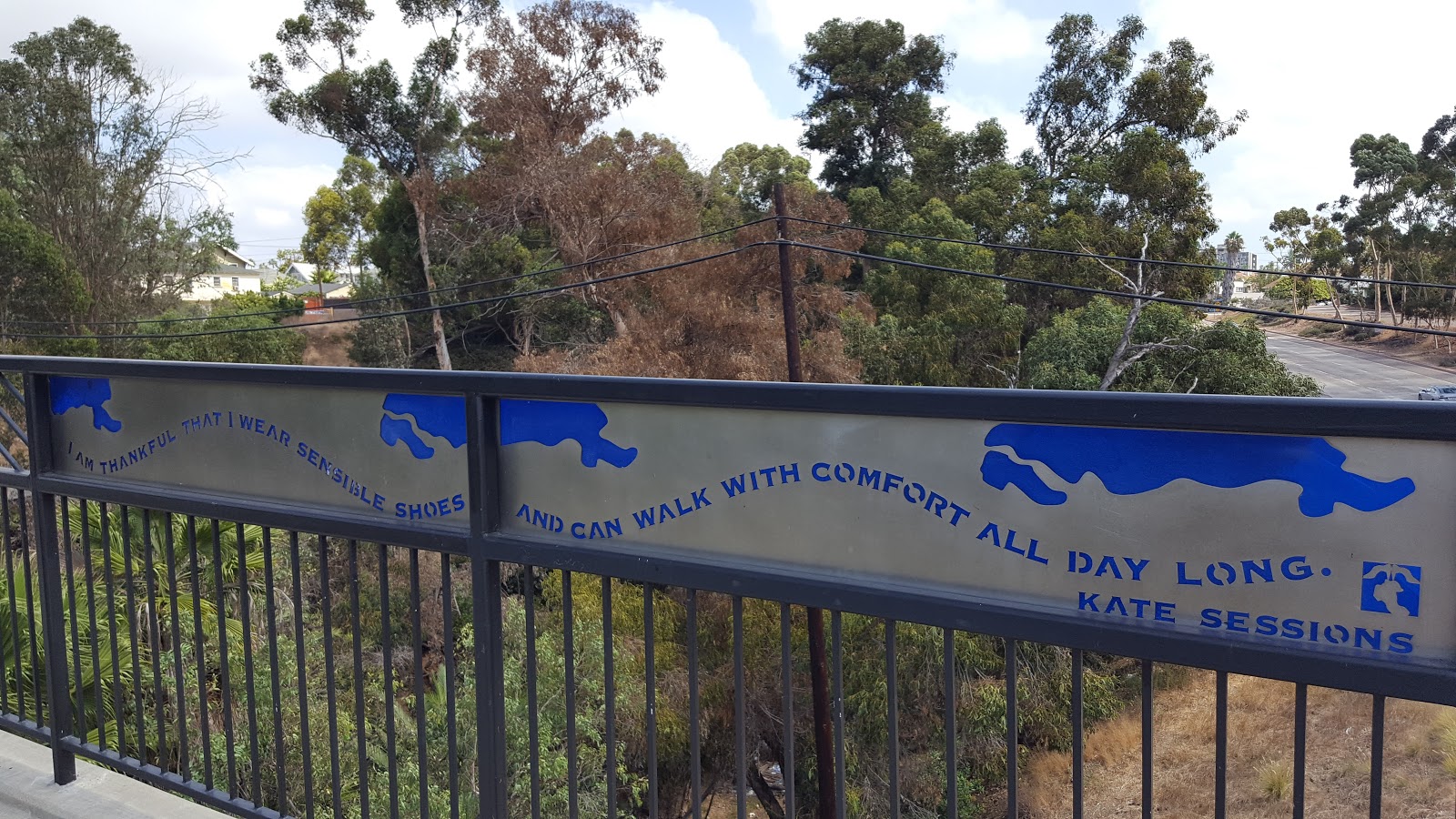
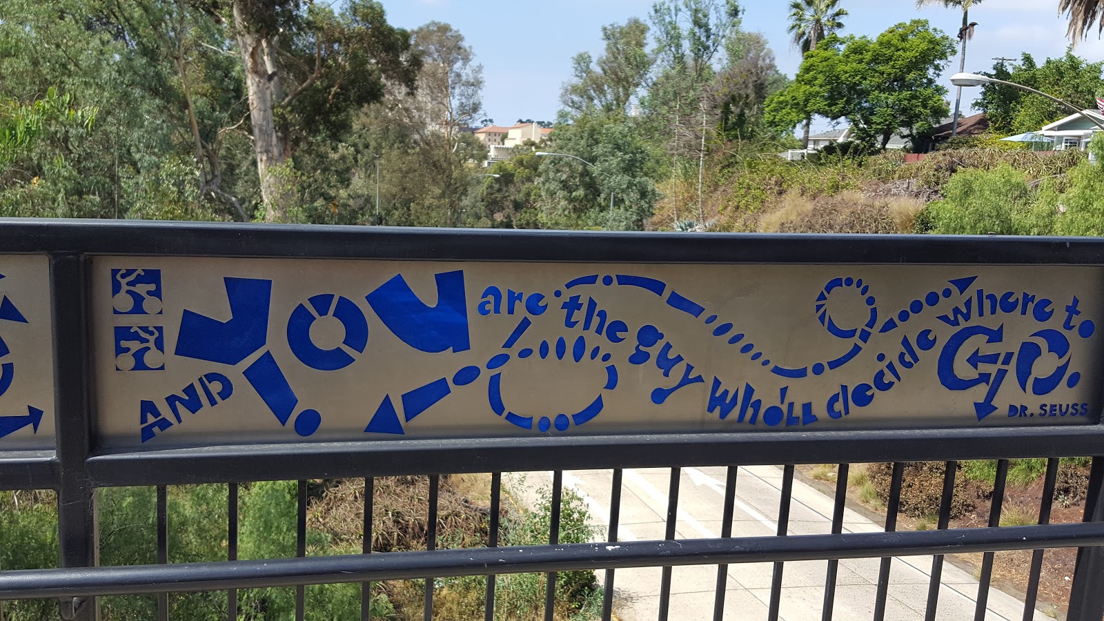
I had no idea the Vermont Street Bridge existed and now I love it. It's full inspirational quotes and connects Hillcrest with University Heights.
Snack Stop
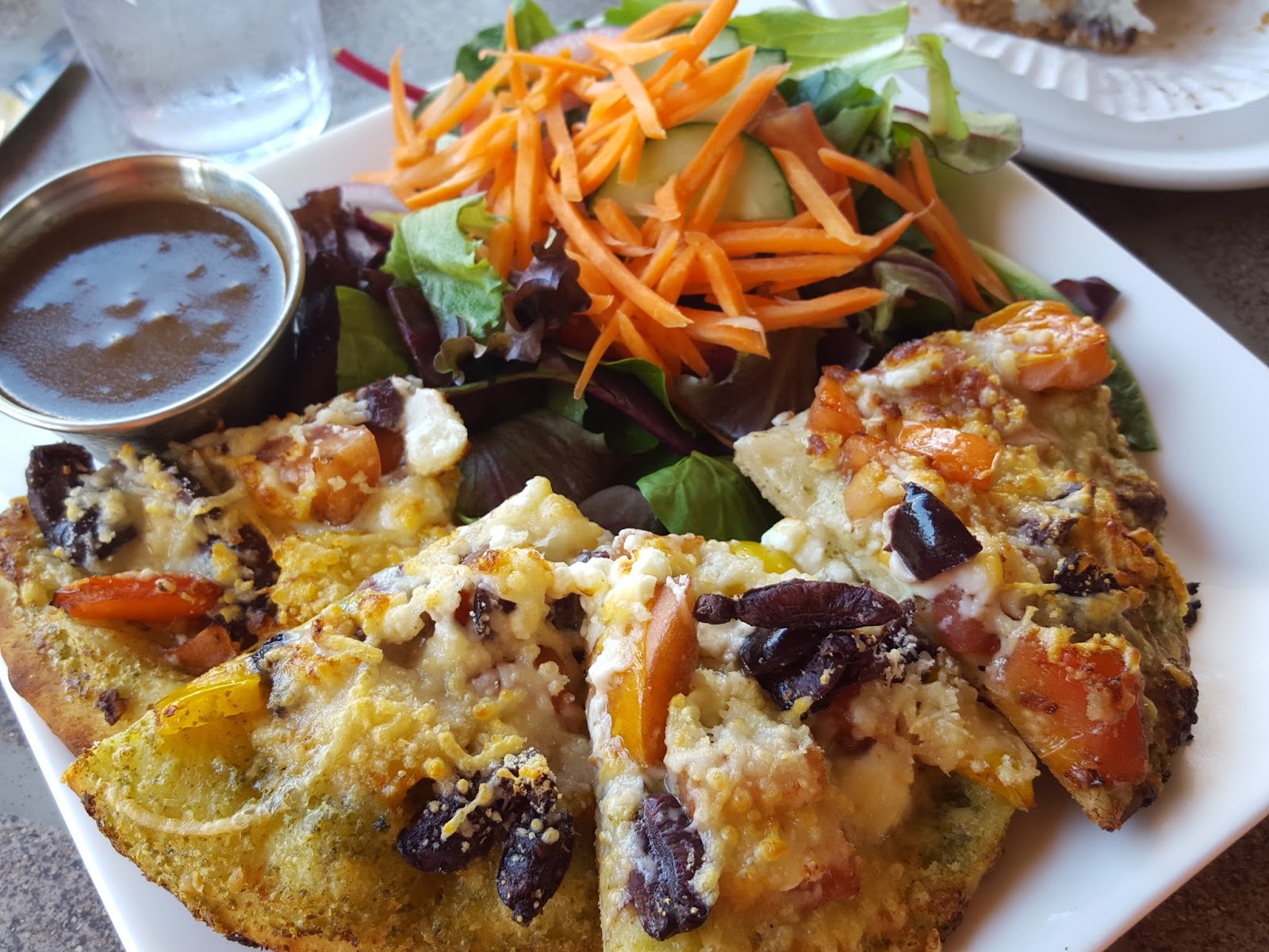
On Sunday the Hillcrest Farmers Market runs from 9a-2pm. Feeling adventurous, I tried these hot Cheeto spam balls. This farmers market is great - good produce, beautiful flowers, and tasty food vendors.

Bridge #7
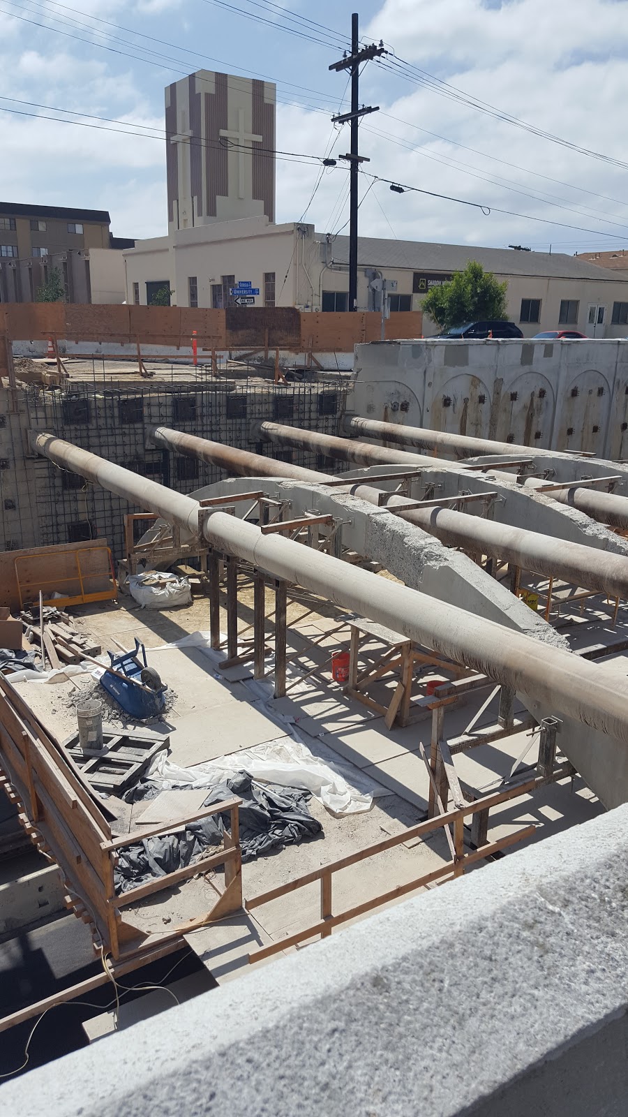
The Georgia Street Bridge is currently under construction, so at this point, you have to walk around and imagine that you urban hiked over this last bridge.
For more fun facts about this hike as well as map, check out this article from the San Diego Reader.
Looking for other ways to explore San Diego?
(Traveler in the Kitchen is the hungry portion of this blog)